It’s hard to make sweeping recommendations about the use of megaphones (sometimes known as bullhorns) at protests: some actions run very smoothly without them while at others they really come in handy.
A lot of this is a function of the crowd size and the action design:
- For a small march or vigil of twenty or a hundred people, a megaphone may distract from the voices of the individual participants.
- At a rally with a couple hundred people, a megaphone can help the speakers’ voices reach the back of the crowd.
- At mass march, megaphone can help with leading chants and managing the crowd — perhaps as many as one or two megaphones per thousand people.
In addition to their obvious uses by speakers and chant leaders, megaphones can also be useful to protest marshals:
- A marshal team with a megaphone will be better able to coordinate across the team and with the participants — for example, asking marchers to stop to clear vehicles out of the way, or explaining that the police have closed a street and we’re all heading to a different location than expected.
- A marshal team with a megaphone can give the marchers updates that help them feel like they know what is going on — like “the front of the march has wrapped all the way around to the park” or “we’re waiting here because they had to stop the front of the march to let a fire truck through” — these aren’t actionable, but it makes people feel informed.
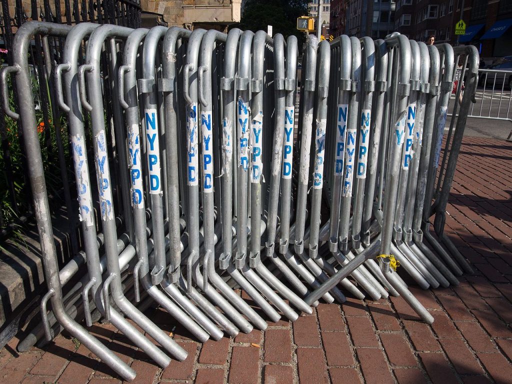
NYC Laws and NYPD Sound Permits
In New Your City, people are required to obtain a sound permit for any use of amplified sound — including megaphones, portable boomboxes, and larger sound systems.
If you don’t have a sound permit, the NYPD can confiscate megaphones and issue a summons — this isn’t a criminal charge, but rather a “violation,” like a parking ticket, with a fine you must pay, but no arrest or criminal record. Typically this is proceeded by a warning — if a cop tells you to stop using the megaphone, you can turn it off and put it away and no further action will follow.
In practice, megaphones are used routinely at NYC protest events without a permit and little or no objection from the police — but if you used megaphones to harass people, or if the police decided to crack down on your event, this would be a place they could start.
If you are obtaining a sound permit for your event, make sure this includes the use of megaphones by marshals and organizers as well as the main-stage speakers.
In the absence of a permit, organizers and individuals must gauge the situation and make a call as to the risk and benefits of using this gear.
Sample Products
Look for a model with 30–40 watts of output. Rechargeable batteries are preferable to having to replace C or D cells frequently.
I purchased a mid-range 40 watt model made by Pyle for around $35: Amazon B0046IP6U6. It weighs about four pounds and has worked great. (Despite the misleading product description, it doesn’t actually include a flashlight.)
Pyle has a bunch of other models with different combinations of features, including a recorded USB ports to play recorded music
The above model comes with a “siren” effect which I grew tired of pressing accidentally, so I unscrewed the control board and used snips to remove the plastic button that triggers that function.
There are also generic competitors that are slightly cheaper, such as this 35 watt model for around $30: Amazon B09LTTC4NP.
You can save a few bucks by getting one of Pyle’s smaller 30 watt models for around $20, such as Amazon B002PAZZIK. However these don’t come with a rechargeable battery, so you’ll end up spending your money there instead. On the upside, these do come in other colors, and have a folding handle that (in conjunction with their smaller size) makes it easier to stash these in a backpack.